Early in the morning on Jan. 7, 2022, contractors imploded the west side of Reser Stadium to make way for updated seating, the new university Welcome Center and other facilities.
In the days leading up to and following that event, researchers were busy monitoring the underground structure of Corvallis with sensors installed around town to pick up vibrations caused by the demolition.
The Reser implosion provided a perfect experimental setup for OSU geologists, geophysicists and geotechnical engineers to learn more about the ground beneath Corvallis and how it might respond during a natural earthquake.
“It was a big team of folks coming together, like a community-building effort,” said Pieter-Ewald Share, an assistant professor in the College of Earth, Ocean, and Atmospheric Sciences and lead author on the study. “We explored techniques and methodologies that the students and I have never worked with before. It was a great experience.”
Following a controlled chain of explosions, the west side of the stadium fell to the northwest, generating signals that mimicked what happens in an earthquake with high directivity, Share said. People living northwest of OSU felt much stronger shaking than people to the south.
On the Richter scale, the implosion registered as a magnitude 2.3 quake, and sensors close to the stadium recorded 0.1g, where “g” is a measure of the acceleration of gravity. (For reference, Share said, a 1g earthquake would have you briefly levitating, because it would essentially neutralize the constant 1g of Earth’s gravitational pull; 0.1g, while only a tenth of that, is still a pretty hefty force.)
While geologists know that Corvallis sits on a layer of sediments atop bedrock, they don’t know the precise shape of that structure, and that means they don’t know exactly how the ground will shake during an earthquake — which is important, as the Cascadia Subduction Zone is due for “The Big One” at any time.
With their sensors monitoring the implosion, OSU researchers were able to measure how strong the vibrations were in certain areas and how long they took to reach different points around town, which allowed them to calculate the consistency of the underground structure.
The results demonstrated that west of campus near Oak Creek is a river of bedrock that rises up almost to the Earth’s surface, then dips back down again and goes deep. The data also showed the path of the Corvallis Fault running through the Benton County Fairgrounds. Previous mapping included the shape of the bedrock within the fault, but couldn’t pinpoint where more surface-level silt and sediment were.
“So using seismic signals, we can show where the fault is to within a few tens of meters,” Share said. “That was newly discovered in this dataset. Even in this small town, we have this little series of underground hills and valleys that were unknown before, and we showed that consistently.”
The Corvallis Fault is not currently active, but it is a weak point in the Earth’s crust, so future earthquakes could trigger cascading motion along it and other points of weakness in the structure.
“People want to know where to build and where not to build,” Share said. “The structural model we have now can help us produce ground-motion estimates, and just knowing where the fault lies is very important.”
That information adds to the larger body of research by the Cascadia Region Earthquake Science Center where Share is a principal investigator and OSU is a lead institution. CRESCENT’s work to quantify subsurface structure in the Pacific Northwest and its implications for ground motion ahead of the next big earthquake is a major thrust of the National Science Foundation-funded center.
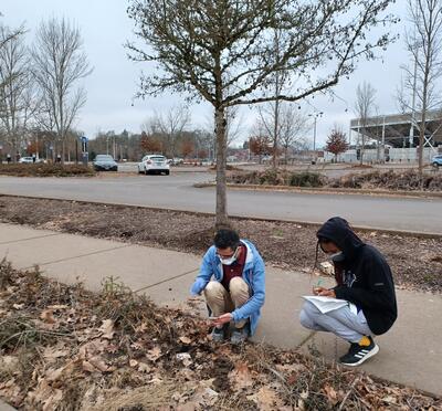
The Reser research team included 29 students who helped install and then remove the array of seismometers in community members’ yards around town. These sensors are pounded several inches into the ground, where they continuously “listen” to all the waves and pulses reverberating through the Earth. They pick up everything from nearby footsteps to the sound of ocean waves crashing on the Oregon Coast, Share said.
A few students have continued working with the seismometer data and are pursuing graduate-level projects and theses based on the Reser implosion, Share said. Two students were also listed as co-authors on the paper, giving them their first taste of academic publishing.
“It was just a lovely community get-together. Faculty got together, we got help from the university, we got help from Corvallis folks to put these things on people’s property, and I think the students had a lot of fun,” Share said. “And what we got out of it was super unique. We didn’t expect the stadium to topple in that manner, and we didn’t expect to find so much variation in the underground structure as you approach campus.”